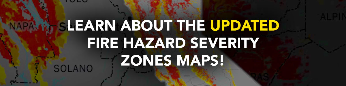
CalFire has just released updated Fire Hazard Severity Zones (FHSZ) Maps, and these changes have real implications for our cities, neighborhoods, and your home. To help you understand what this means for you and how to stay safe, I recently hosted an important community forum bringing together experts from CalFire, the California Department of Insurance, and the United Policyholders -- an insurance consumer advocacy organization.
Together, we covered the impacts of the new maps, homeowner responsibilities, fire department preparedness, and what these maps mean and do not mean for your insurance coverage. If you missed the event, I invite you to watch the full recording at your convenience above.
What You’ll Learn:
- How the new FHSZ maps impact your community
- Requirements for defensible space and fire-resistant construction
- Local fire department roles in wildfire readiness
- Insurance implications and available fire prevention resources
Key Takeaways for Homeowners in High-Hazard Areas:
- Maintain 100 feet of defensible space around your home
- Use fire-resistant building materials for new construction
- Follow vegetation management regulations
- Ensure driveways are accessible and addresses clearly visible for emergency responders
- Disclosure Requirements
What Local Fire Departments will be Doing:
- Conducting inspections and enforcing safety codes
- Updating Community Wildfire Protection Plans
- Expanding fire prevention education and community outreach
- Strengthening emergency response strategies
Thank you for your continued efforts to keep our communities safe and fire-resilient. If you have questions or need additional resources, please don’t hesitate to contact my office.

Diane Papan
Assemblymember, 21st District